PDF
Great
Ocean
Road
Travel
Notes
Port
Campbell
to Peterborough
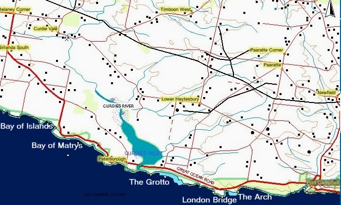
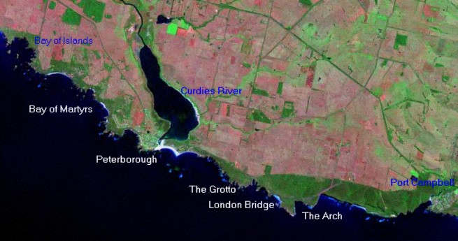
Port
Campbell is in lower right of this Great Ocean Road image. The estuary
and mouth of the
Curdies river is located in left hand third of Image. Peterborough is
located on left hand bank at the mouth of this Curdies River. The Bay
of
Martyrs and the Bay of Islands are clearly visible in left hand of
image. The Bay of Islands is possibly the best natural feature along
the Ocean Road. We will leave it up to you to decide. The London
Bridge feature is located in the lower middle of the image just to
right of southern most tip of land. Other natural features The Arch
and The Grotto are located along the rugged section of coast line
between Port Campbell and Peterborough. The Arch is a must see feature
on any Great Ocean Road trip
Road
Video
Aerial Video
Aerial
Photos Port
Campbell
to
Peterborough Bay
of
Martyrs
Bay
of
Islands
Picture Gallery
The Arch
London
Bridge The
Grotto Peterborough
Bay of
Islands Bay of
Martyrs Boat Harbour
Things to Do
and See
Port Campbell Peterborough
Shops Fuel
Eating Accommodation Port
Campbell
Peterborough
Back to Main Great Ocean Road Map
Next
Section of the Great Ocean Road Peterborough to Warrnambool
Previous
Section of the Great Ocean Road Gibson Steps to Port Campbell